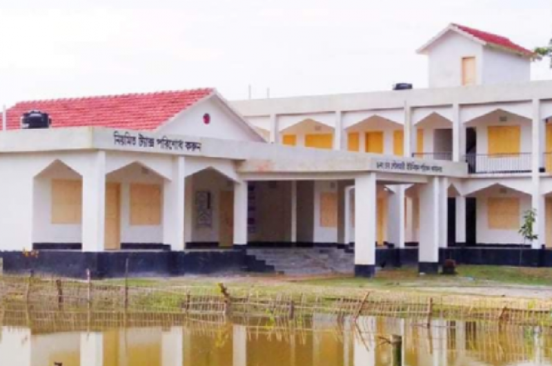
Rowmari Upazila
Roumari upazila under Rangpur district was established in 1902. Later, the activities of Roumari upazila started in 1973 under Kurigram district.
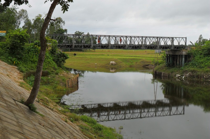
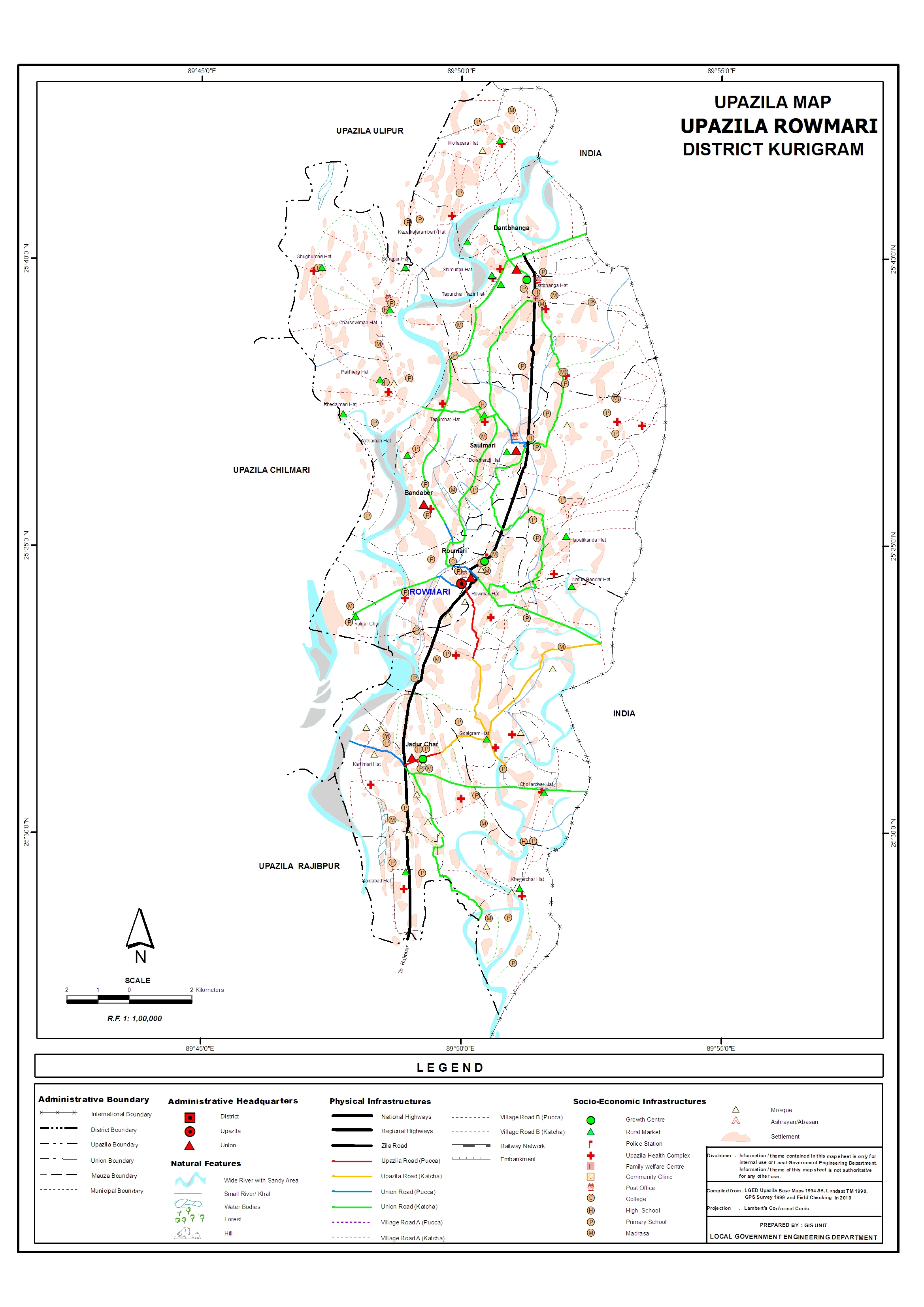
Roumari upazila has an area of 198 sq km. And 20.62 sq km of river area. Roumari Upazila is situated between 25 ° 28 'north latitude and 25 ° 43' north latitude, and between 89 ৫ 45 'east longitude and 89 ° 53' east longitude. .
The exact history of naming Roumari Upazila is still unknown. However, before the popular practice, a lot of rui fish could be found in this area. Rui fishing in this area is called Rui fish mara. It is from this word ‘Rui Mara’ that the name Roumari is thought to have originated.
Map
Overview
| Upazila name | Rowmari (রৌমারী) |
| Distance from zilla | 55.00 KM |
| Total population | 182198 persons |
| Total families | 59266 |
| Total villages | 143 |
| Growth centers | 17 |
| Colleges | 12 |
| High schools | 24 |
| Secondary schools | 8 |
| Primary schools | 115 |
| Ebtedayee | 15 |
| Madrasah | 0 |
| Other institute | 0 |
| Education rate | 438.5% | 196.1% (Women), 242.4% (Men) |
| Community clinics | 31 |
| Satellite clinics | 1 |
| Hospitals | 1 |
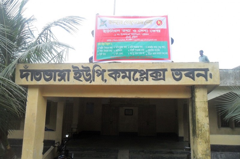
Unions of Rowmari Upazila, Kurigram