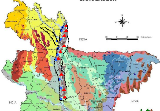
Flood is a perennial problem for Bangladesh. Almost every year flood causes enormous damage to the people and economy of the country. To reduce the problem, a lot of investment has been made to build embankments for protecting important areas. The current records of damages by flood demonstrate that these measures could not bring about the desired results. Considering the geography of the country and amount floodwater in monsoon period, it may be concluded that only the structural measures to cope with flood will not be very successful.The Northwest area of Bangladesh is the entry point of many rivers coming from the Himalayan ranges. Bangladesh Agriculture Research Council as the active Teest Floodplain and active Brahmaputra-Jamuna Floodplain. The Brahmaputra has an average discharge of 19,800 m3/s2 (peaking at around 100,000m3/s during flood events).It is part of Brahmaputra –Ganges-Meghna river system, which is the third largest in the world by discharge of which more than half of this discharge is from the Brahmaputra river. This 3 river system has the highest level of sediment load in the world. The width of the Brahmaputra River varies by location but is around 5kms across in the dry season, increasing to widths of 15-20 kms during flood. The Teesta River is significantly smaller in terms of width and discharge. The char zone refers to the collection of riverine islands that are present in both the Brahmaputra and Teesta rivers, many of which have semi-permanent settlements, all of which require boat transport. The river basin zones refers to the adjacent villages which are located on the banks of the two Rivers and which are logistically connected by normal road networks to others parts of this District. There is significant economic and social interaction between the char and river basin zones
The northwest area of Bangladesh is the entry point of many rivers coming from the Himalayan ranges. The area covered in this research is zoned by the Bangladesh Agricultural Research Council as the Active Teest Floodplain and Active Brahmaputra-Jamuna Floodplain.
The Brahmaputra has an average discharge of 19,800 m
3/s
2 (peaking at around 100,000
3/s during flood events). It is part of the Brahmaputra-Ganges-Meghna river system, which is the third largest in the world by discharge (after the Amazon and Congo rivers), of which more than half of this discharge is from the Brahmaputra. This three-river system has the highest level of sediment load in the world. The width of the Brahmaputra River varies by location but is around 5kms across in the dry season, increasing to widths of 15-20kms during floods. The Teesta river is significantly smaller in terms of width and discharge..
There are two main livelihood zones of interest for this research (as described in the methodology description in Annex A); the river basin zone and the char zone. The char zone refers to the collection of riverine islands that are present in both the Brahmaputra and Teesta rivers, many of which have semi-permanent settlements, all of which require boat transport. The river basin zone refers to the adjacent villages which are located on the banks of the two rivers and which are logistically connected by normal road networks to other parts of Bangladesh.