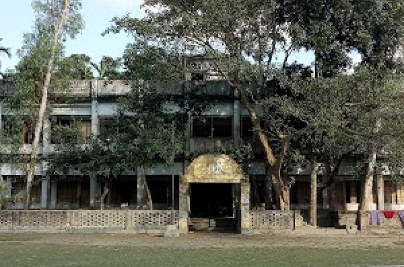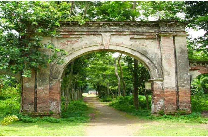
Nageswari Upazila
In the past this upazila was under the ancient Kamrup or pre-Jyotishpur kingdom. In 1206 AD, Ghiyasuddin Khilji, the ruler of Gaur, captured Kamrup. At this time the Brahmaputra valley i.e. the whole of Nageshwari came under his control. On the orders of King Mohammad Shah, his nephew Malik Khasru proceeded to conquer China through the Brahmaputra river at Kurigram. But he returned unsuccessfully, despite the presence of one hundred thousand cavalry, which was attacked by the opposing party due to inaccessible roads and steep slopes. In the thirteenth century, the Ahoms occupied the eastern part of the Brahmaputra river (the whole of Assam except Goalpara district) and named it Ahom Kingdom. At this time a separate state called Kamatapur was established on the western border of Kamrup state. This state included Roumari in present-day Kurigram, the whole of Kurigram except Rajibpur and Goalpara and Dhubri in Assam. At that time Nageshwari was under the kingdom of Kamatapur. The village of Kamata Angaria near the Bhurungamari bus stand still stands as a tradition or witness of the state of Kamatapur.
Shah Ismail Ghazi, the general of Sultan Barbak Shah of Gaur, conquered Kamrup in 1464 AD. At this time the greater Rangpur district came under his control. It is believed that Kameshwar, the ruler of Kamrup, fought with Shah Ismail Ghazi at a place called Nageshwari Santoshpur. In the fifteenth century, the Hindu kings of the Khen dynasty ruled the kingdom of Kamatapur for some time. In 1506, Tarabak Kha crossed the Brahmaputra river with a large fleet to capture the kingdom of Nageshwari or Kamatapur, but failed and returned. Later, on the occasion of the weak heirs of Alauddin Hussain Shah, a Koch Sardar named Vishnu ended the Afghan rule and occupied part of the then greater Rangpur and renamed it Koch Bihar. At this time Nageshwari Koch was included in Bihar. Until 1953, Koch Bihar existed as an independent state.
When Sher Shah occupied Bangladesh in 1541 AD, he made the Nageshwari region under the province of Sube Bengal from Kochbihar. He divided the whole of Bengal into 19 governments for the convenience of governance. One of them is Ghora Ghat Sarkar (now included in Dinajpur district). Nageshwari was then under the Ghoraghat government. A few days later, he was part of the Ghoraghat government, namely Baharband (now Kurigram Sadar Upazila), Vitarband (now Nageshwari Upazila), Panga (now Barbari), Koteshwar, Gaybari (now Bhurungamari Upazila), Purbabhag (now Fulbari Upazila) and Patgram (under Lalmonir Hat District). Bhabaniganj (sub-district of Gaibandha district) etc. formed the government of Bengal. Since everyone wanted to occupy this area, Sher Shah named it "Sarkar Bangalbhum" or the land of Bengal in order to identify this area in a special way. After the death of Sher Shah, Koch Raja took over the government of Bengal in 1545. Even during the reign of Emperor Akbar, the Mughals could not save the region from the Kochs. In 161, Aurangzeb's general Mir Jumla attacked Kochbihar and the government liberated Bengal. At this time Mir Jumla stayed at Mughalkata in Bhurungamari upazila for about three years. On his way back for the second time, he fell ill on the way in 183 and died at Manak Char in Assam. He was buried on a hill in Assam. This hill is now known as Mir Joomla hill. From then on Nageshwari was ruled by the Mughals and their created zamindars.
Map
Overview
| Upazila name | Nageswari (নাগেশ্বরী) |
| Distance from zilla | 22.50 KM |
| Total population | 517890 persons |
| Total families | 98643 |
| Total villages | 424 |
| Growth centers | 74 |
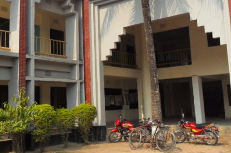
| Colleges | 16 |
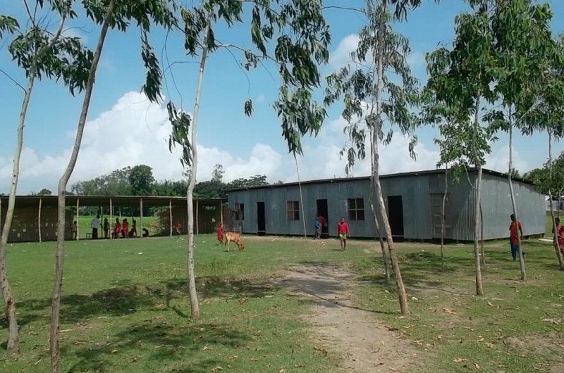
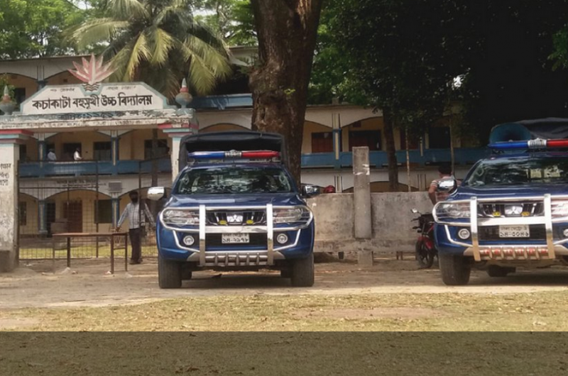
| High schools | 51 |
| Secondary schools | 11 |
| Primary schools | 183 |
| Ebtedayee | 49 |
| Madrasah | 0 |
| Other institute | 33 |
| Education rate | 780.9% | 358.9% (Women), 422% (Men) |
| Community clinics | 48 |
| Satellite clinics | 11 |
| Hospitals | 13 |
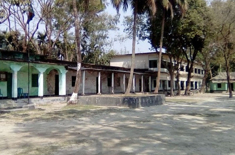
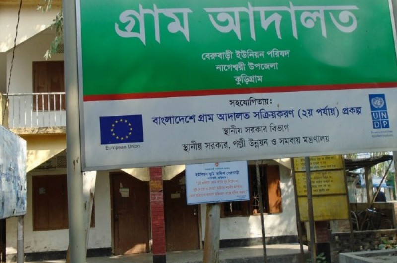
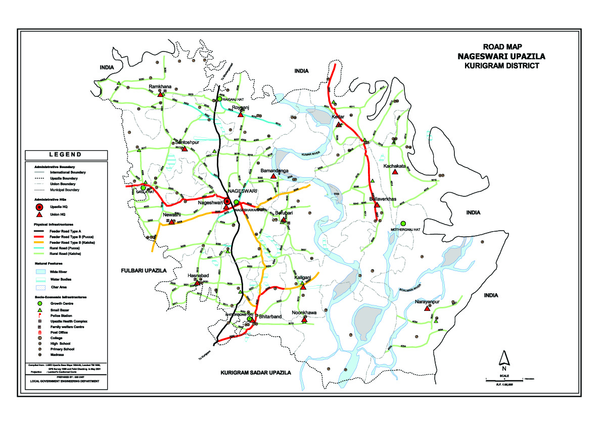
Unions of Nageswari Upazila, Kurigram