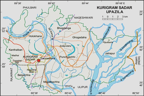
Kurigram Sadar Upazila
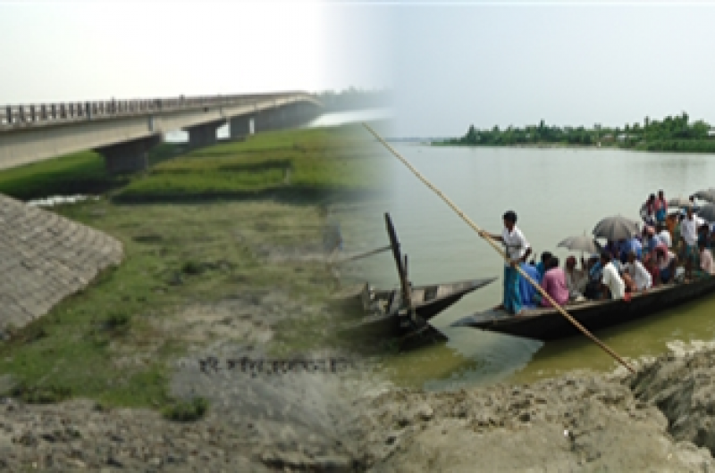
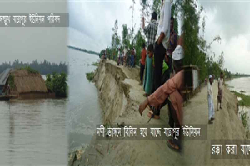
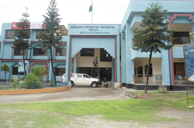
Sadar upazila of Kurigram district is established with eight unions. Its area is 26.45 square kilometers. The activities of this police station started in 185. The activities of the upazila started in 1984. Kurigram Sadar Upazila is situated between 25 ° 45 'and 25 ° 55' north latitudes and between 89 ° 35 'and 89 ° 51' longitudes. Fulbari and Nageshwari upazilas of Kurigram district to the north of Kurigram Sadar upazila, Ulipur of Kurigram district to the south, Dhubri district of Assam state in the east and Rajarhat upazila to the west. Kurigram is a very ancient town. Although the exact date of the formation of Kurigram as a town is not known, there is ample evidence that the area is ancient as a town. During the Mughal period, due to repeated revolts, the Mughal forces had to rush to the area. They built the first Muslim settlement here - village after village, village after village. Today's Kurigram has been created with its twenty ganj. Again, many say that the mother of Maharaja Bishwa Singh of Kuzbihar sent the twenty Mlechcha family to this region bordering Cooch Behar after considering them as advanced class Hindus. This subdivision has been named after these twenty families. This region was formerly called 'Koyerganj' or 'Kuriganj'.
Map
Overview
| Upazila name | Kurigram Sadar (কুড়িগ্রাম সদর) |
| Distance from zilla | 0.00 KM |
| Total population | 390696 persons |
| Total families | 76701 |
| Total villages | 480 |
| Growth centers | 52 |
| Colleges | 0 |
| High schools | 0 |
| Secondary schools | 0 |
| Primary schools | 0 |
| Ebtedayee | 0 |
| Madrasah | 0 |
| Other institute | 0 |
| Education rate | 0% | 0% (Women), 0% (Men) |
| Community clinics | 0 |
| Satellite clinics | 0 |
| Hospitals | 0 |
Unions of Kurigram Sadar Upazila, Kurigram