Bhurungamari Upazila
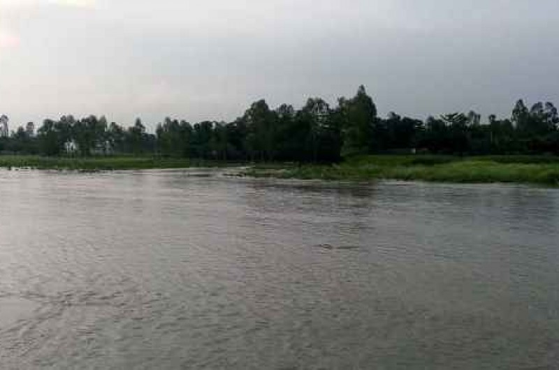
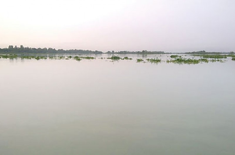
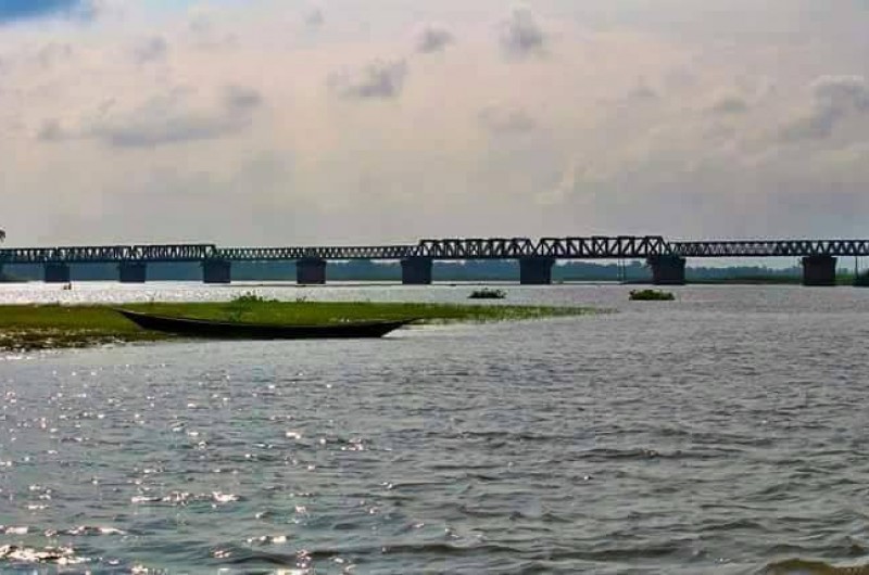
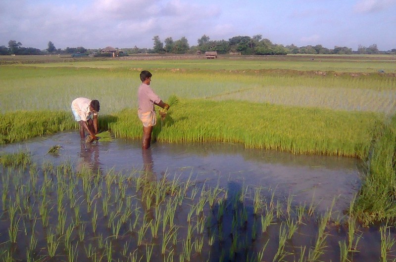
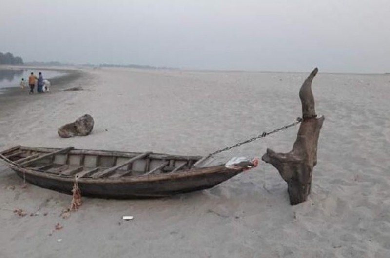
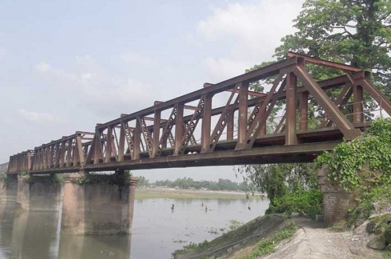
Bhurungamari was a riverine area in ancient times. All the rivers here were fast flowing. The rivers flowing in this region have repeatedly changed their course. The abandoned course of the river has created beels and ponds. Almost all the beels and ponds here are suitable for fish farming. The proverb 'Bengali in fish and rice' is still true for the people of Bhurungamari. At one time Bhurungamari was famous for Rui fish. The region has been named Bhurungamari after the abundance of Bhurunga fish. When people went fishing in groups, they would call out to each other, "Cholo vurunga mari" Thus the name Bhurungamari has come into vogue.
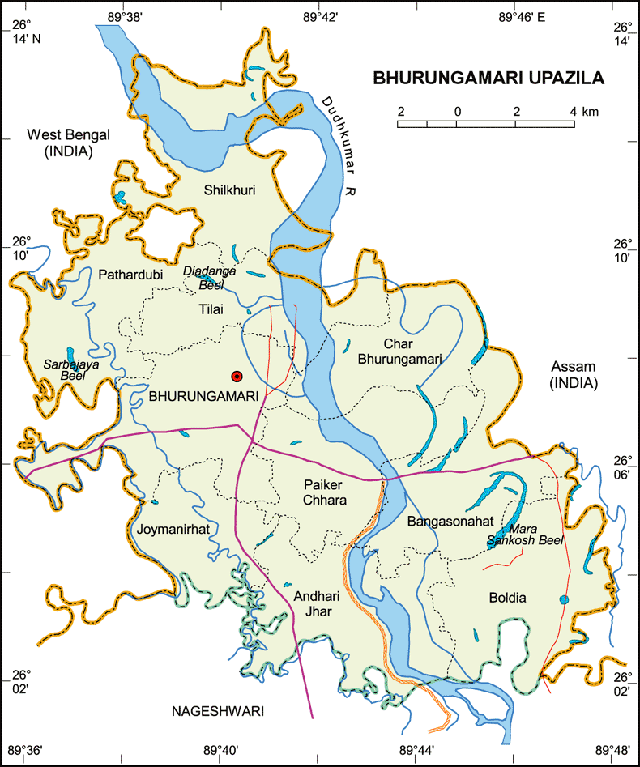
Area 91.22 sq miles, 231.70 sq km, 56,361.2 acres. This upazila is bounded on three sides by Dinhata thana of Cooch Behar district of West Bengal on the west, Tufanganj thana of Cooch Behar district on the north, Golakganj thana of Dhubri district of Assam on the east and Nageshwari thana of Kurigram district on the south.
Map
Overview
| Upazila name | Bhurungamari (ভূরুঙ্গামারী) |
| Distance from zilla | 36.40 KM |
| Total population | 294540 persons |
| Total families | 61619 |
| Total villages | 113 |
| Growth centers | 29 |
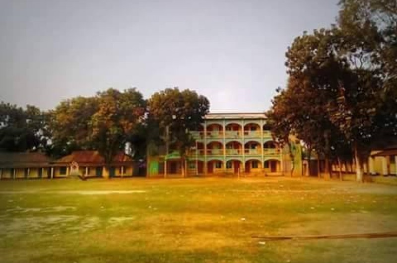
| Colleges | 10 |
| High schools | 30 |
| Secondary schools | 6 |
| Primary schools | 87 |
| Ebtedayee | 18 |
| Madrasah | 0 |
| Other institute | 1 |
| Education rate | 772% | 395% (Women), 377% (Men) |
| Community clinics | 35 |
| Satellite clinics | 4 |
| Hospitals | 6 |
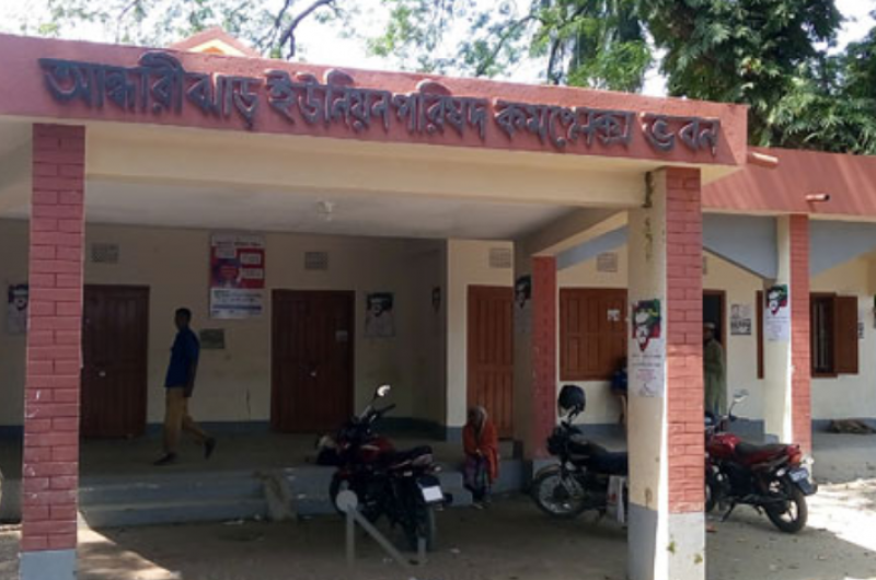
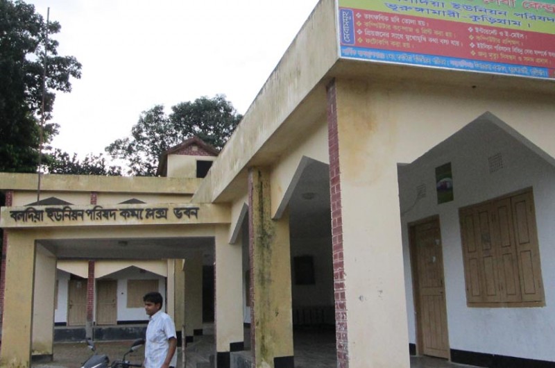
Unions of Bhurungamari Upazila, Kurigram